The PoleOS™ Company
The Hateful Eight: Pain Points of Pole Data Collection and Analysis
I’ve worked in the field collecting pole data and I’ve worked in the back office analyzing it. Over the years I’ve seen plenty of challenges to both processes.
Here are my “Hateful Eight” pain points that I’m sure many electric utilities, engineering firms, and communications companies have experienced:
Pain Point 1: Time-consuming data acquisition
So when you’re using older style methods of fielding that involve the Hasting stick and/ or pencil and paper or even if you’re using a laser rangefinder, the process can be time-consuming.
Fielders strive to be efficient and conventional fielding methods can lead to a fielder spending up to 30 or even 45 minutes at some of these complicated poles just trying to collect the data properly and write it all down.
Pain Point 2: Delay in data upload and analysis
Time is money, especially for communications companies trying to expand broadband reach. Delays between when the fielding data is collected and analyzed in the back office can be detrimental to productivity and profitability.
On some projects I’ve worked on, fielders collected pole data all week and drove to the home office every Friday to upload data.
Driving the data to the office translated to a lot of time wasted between when the data was physically fielded and when it was available to be analyzed.
Pain Point 3: Potential for Mistakes
Using older, more conventional methods of collecting pole data introduces an increased potential for mistakes by way of good old-fashioned human error.
If a fielder has poor handwriting or is in a rush, a two (2) can look a lot like a five (5) which complicates things by introducing inaccuracies that can lead to a safety risk.
Pain Point 4: Data Management
When large amounts of data have been collected, electric utilities can have a difficult time managing it, especially if the data is not stored properly and/or it’s not in any easily searchable format.
Unstructured or improperly stored data creates havoc when it comes time to analyze specific data and prepare it for a project.
Pain Point 5: Outdated data
Outdated data can come into play when it takes a prolonged time for the data to make it from the field to the back office.
And by the time the data is actually analyzed and processed, it could be weeks or months before you know where there’s a lag between the fielding and the back office,
Over that time, things can change in the field. New attachments can be added to poles, for example. Without proper analysis, and analyzing data that does NOT reflect what’s actually in the field is improper analysis, potential safety issues can creep into play.
Pain Point 6: Lack of Data Verification
If what’s actually in the field isn’t properly reflected in the data, then we also have a lack of data verification.
So without a reliable, single source of digital truth, it can be very confusing for the electric utilities, communication companies, and engineering firms to agree on what is actually in the field and what the conditions are.
Pain Point 7: Compatibility Issues
When data exists in different formats, it can be really hard for individual analysis systems to communicate with each other.
If different companies are using different systems–as is often the case during the joint-use process–a lack of compatibility can make it difficult for these companies to communicate effectively with one another.
Effective communication and collaboration, as we’ve discussed in previous IKE Wire articles, is critical for an efficient joint-use process.
Pain Point 8: Inefficient Workflows
Whether derived from different systems trying to process incompatible data, long spells for data to reach the back office from the field or any other pain point we’ve discussed, inefficient workflows can drastically slow joint-use projects and lead to missed opportunities for broadband expansion.
So what’s the best way to avoid these pain points and streamline the process to ensure efficient workflows?
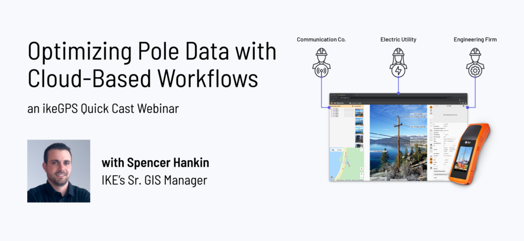
Take a look at this IKE Quick Cast Webinar to find out
Spencer Hankin is a Senior GIS Manager for ikeGPS. He has worked in every aspect of OSP aerial engineering including fielding poles in remote areas, building PLAs, managing field teams, and overseeing fiber design projects from start to finish as a lead OSP engineer. He holds an undergraduate degree in Geology from the University of Colorado and an MBA from the University of Redlands with a concentration in Location Analytics.
The latest from the IKE Wire
Harnessing Data, Machine Learning, and Predictive Analytics for Storm Resilience
In the world of electric utilities, storm season can bring disruptions from mild to c...
Read MoreFour Steps to Accelerate Broadband Deployments with Pole Data and Analysis
Improve the pole attachment process and connect customers faster The explosion of bro...
Read MoreSlow Permitting Approval Process? There’s a Federal Committee for That.
For communications companies seeking to expand broadband networks to new customers, a...
Read MoreSubscribe to the IKE Wire
Get the latest insights on data acquisition and structural analysis from the ikeGPS experts.


