The PoleOS™ Company
Intelligent automation for utility poles
Transform disparate data and imagery into actionable insights that drastically increase productivity.

AI, predictive analytics, and machine learning offer significant opportunities for managing overhead power and communication infrastructure. IKE is your partner in keeping pace while maintaining the safety and integrity of your network. We have developed AI applications specifically designed for poles to help you achieve critical industry objectives, such as asset maintenance, safety inspections, and permitting.
Automate manual tasks
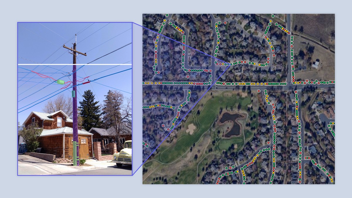
Gain pole insights at scale
Make better decisions
Stay ahead of the curve
Critical solutions for overhead infrastructure
Take advantage of applications for key maintenance, make-ready, and joint-use processes.
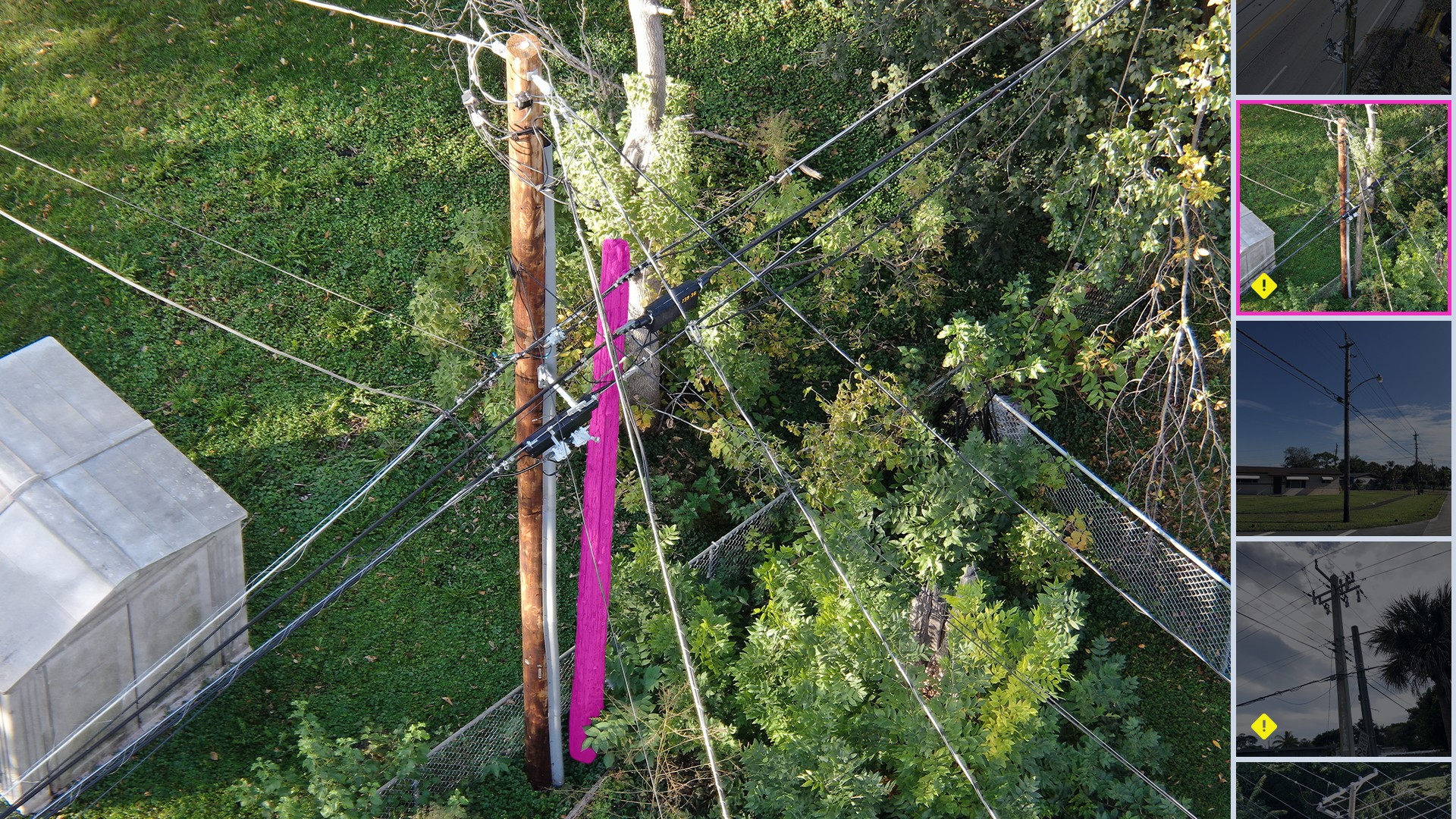
Double Wood Detective
Locate instances of double wood (also known as buddy poles, ghost poles, or two poles) at a network level.
Learn More
Purpose-built for power and communications networks
AI capabilities developed with an engineering mindset focused on technical accuracy, guided by IKE’s deep pole data and structural expertise.
Personalized intelligence
Apply business rules or conditions to your data to gain meaningful insights.
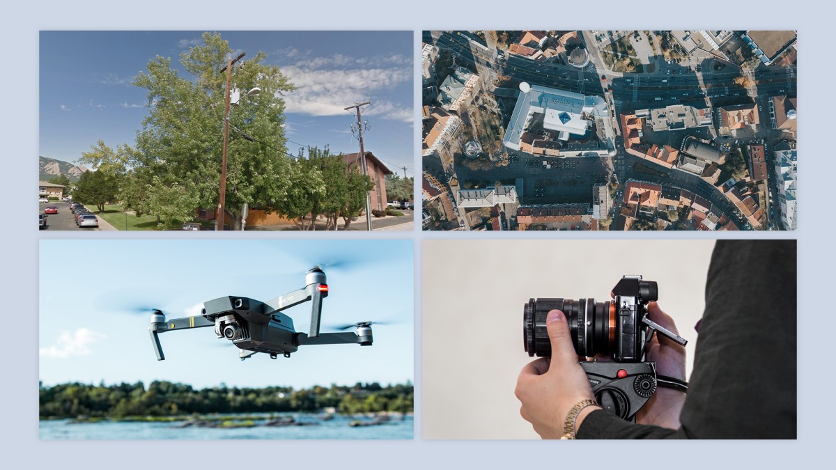
Data source agnostic
Supports any data or imagery source (drone, street level, thermal, LiDAR, aerial, and more).
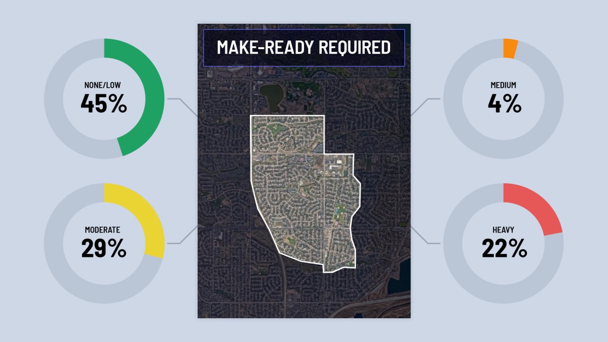
Network-level insights
Assess the state of your system at scale.
Get the IKE Insight info sheet
Download NowIKE works with over 500 enterprise organizations


