The PoleOS™ Company
Digital Twins and the Utility Smart Grid
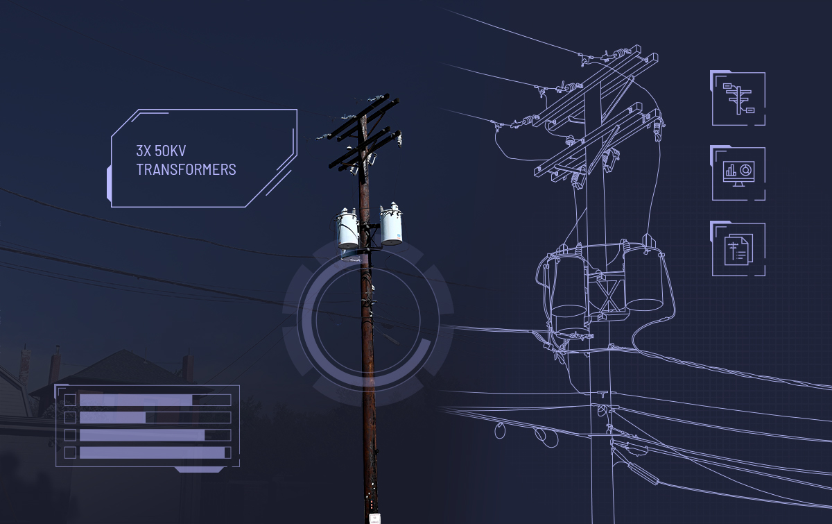
Creating and maintaining a digital twin of an electric grid is essential for developing and maintaining a smart grid. Often, the digital twin is just one manifestation of creating a smart grid. At its core, a digital twin is a virtual representation of a physical asset, combined with an operational status used to understand or predict the physical counterpart. It is accomplished by leveraging the system data that defines it and its physical world situation captured through sensors. It’s a way of thinking about your physical assets purely virtual.
One cornerstone of the smart grid and, therefore, digital twins is the accuracy of the geospatial information system (GIS). Utilities have been wrestling with this challenge for decades, and in many cases, their GIS data is still not much closer to what is required for such a task. As a model that virtually represents their physical counterparts, the digital twin information needs to be complete, accurate, and connected.

Traditionally, utilities of various types have utilized a manual pole survey to inspect and inventory their outdoor assets. Very sophisticated devices have been developed to make this process as painless as possible, and these devices still have a place in utility inventory management. Computerized analytical techniques that utilize powerful algorithms and machine learning are emerging, driven by the need to deliver higher precision data quicker and at a lower price.
Two very different technologies that deliver precision in different areas have surfaced. The first technology combines precise location information and the very detailed information provided by laser reflection technology. This technique is known as LiDAR (Light Detection and Ranging) and has become very popular in data starved utilizes. It compliments and sometimes competes with the second technology, Photogrammetry, which uses images derived from photos or videos under ambient lighting. Where LiDAR can provide very precise shapes and structures, Photogrammetry adds something LiDAR can’t, color.
Just like their real-world counterparts, a set of component digital twin devices can be assembled into an equipment digital twin, a set of equipment digital twins can be made into a local network digital twin, and a set of local network digital twins can be assembled into a grid digital twin, and so on.

Given the history of utility challenges in developing and maintaining accurate GIS data, these new approaches represent a beacon of hope which may enable utilities to cost-effectively develop a digital twin of their networks that is an essential prerequisite for a smart grid.
The latest from the IKE Wire
Celebrating 2025 Achievements in Field Data Collection: Luck Grove Leader in Utility Pole Collection
Utility engineering experts top 220,000 collections in 2025 As we close out 2025, the...
Read MorePole Attachment Tips for Successful BEAD Deployments
Four tips to reduce friction in attachment processes The Broadband Equity Access and ...
Read MoreUnderstanding the NESC rules for streetlights in the Communication Worker Safety Zone
In an earlier blog post, we explored the Communication Worker Safety Zone – its...
Read MoreSubscribe to the IKE Wire
Get the latest insights on data acquisition and structural analysis from the ikeGPS experts.


