The PoleOS™ Company
The Importance of Data Needs for an Electric Utility
Even in 2022, a typical electric utility geographic information system (GIS) probably contains only a fraction of what is required for managing a smart grid. Typically, that data is too unreliable to use for smart grid applications. For example, electric utility GISs may not include which customers are connected to which transformer, or if they include this information in the GIS (and many do not), it is incomplete or incorrect. Many electric utility GISs cannot identify the phase(s) each customer is using, and they may not include network topology or what is connected to what. Other missing data may include streetlights, distributed energy generation such as rooftop solar photovoltaic (PV) panels, poles’ type and condition, joint use, and encroachment. Correcting this data is often a hit-and-miss affair depending on what department of the utility undertakes the data correction project. Electric utilities are notoriously siloed, and it is not uncommon for various departments to do pole inspections and inventories for only their specific needs, neglecting the data needs of the rest of the company.
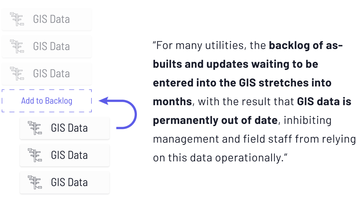
Compounding the problem is the vast array of tools used by the various consumers of pole surveys or inventory projects. Planners tend to use GIS tools, engineers and designers utilize computer-aided design (CAD) tools, construction folks in the field use paper CAD drawings, and asset managers use FM, GIS, or integrated tools. Fashioning architecture engineering and construction (AEC) and geospatial data into an efficient data flow from planning through design and construction to operations and maintenance represented a challenge that remains a problem for utilities. For many utilities, the backlog of as-builts and updates waiting to be entered into the GIS stretches into months, with the result that GIS data is permanently out of date, inhibiting management and field staff from relying on this data operationally.

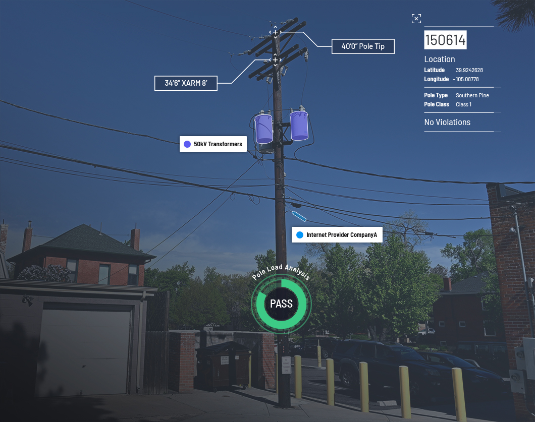
There are signs that modern technology is beginning to offer a solution to the problem of developing and maintaining an accurate digital model of electric power grids. Data collection of field assets and subsequent analysis are more sophisticated. Field surveys are still the norm, but devices to capture and analyze the data continually improve. Manual, in-field data collection allows for the input of the field personnel to describe intangible situations that may impact properties such as pole loading. Handheld devices remain one of the most accurate and inexpensive methods to obtain data for pole load analysis (PLA). Pole load analysis identifies the forces acting on a pole (from the cables, hardware, and more) and analyzes its structural integrity. Pole loading analysis starts with surveying an existing pole or using build specifications for new lines. Pole heights, pole type, pole class, pole location, and surveying existing structures on either side of the pole are recorded for analysis. Noting any third-party cables, their types, and locations is essential for the pole load analysis as other utilities may use utility pole assets in a manner unacceptable to the pole owner and the applicable regulations. If the load being calculated exceeds what it can handle, the pole structure needs to be enhanced or replaced.

Data from the pole loading analysis survey needs to be convertible into the form used by the analytical software. PoleForeman, O-Calc, and SPIDA formats need to be supported. As mentioned above, pole survey data needs to be useable by other utility data users. Hence, file formats ranging from KML (keyhole markup language) to CSV (comma-separated value) need also to be supported.
Utilities must analyze pole inspection technologies in light of not only the immediate pole analysis requirements but the data needs of the utility as a whole. Data used by other departments, the ease of data storage, and dissemination are equally crucial to the utility.
The latest from the IKE Wire
Celebrating 2025 Achievements in Field Data Collection: Luck Grove Leader in Utility Pole Collection
Utility engineering experts top 220,000 collections in 2025 As we close out 2025, the...
Read MorePole Attachment Tips for Successful BEAD Deployments
Four tips to reduce friction in attachment processes The Broadband Equity Access and ...
Read MoreUnderstanding the NESC rules for streetlights in the Communication Worker Safety Zone
In an earlier blog post, we explored the Communication Worker Safety Zone – its...
Read MoreSubscribe to the IKE Wire
Get the latest insights on data acquisition and structural analysis from the ikeGPS experts.


