The PoleOS™ Company




The IKE Device now supports staking and a lot more utility fielding workflows
The latest round of IKE Device updates expands the scope of what a single field data collection visit can deliver. Collectively, they support improved utility workflows for:
- New construction
- Pole replacements
- Undergrounding projects
- Pole inspections, audits, and damage assessment
- Pole loading analysis
Two changes make that range of work possible. The first is that the device now supports staking, the rigorous process of confirming and marking exact locations of utility infrastructure before construction begins. The second is that data collection is no longer limited to infrastructure that already exists. Field technicians can now mark proposed poles, underground lines, and other assets that haven’t been built yet, and capture a wider range of object types.
New features support the staking process
Staking is the formal step in a utility’s design process where a technician confirms exactly where a pole or a piece of infrastructure needs to go, marks that spot, and hands off a set of stakes and drawings telling a construction crew what to install and where. Traditionally, this involves two or more people, lugging around total stations, tripods, and mirrors, and driving a physical stake into the ground at each point down the line. Getting it wrong is expensive. Accurate span length is required to design clearances and pole strength correctly, so an error caught late usually means a revisit.
The IKE Device is now equipped with new tools and features to make sure you get it right. We added a navigation tool to the IKE Device’s map. Users can select a proposed structure or any other point and receive real-time guidance to locate that point in the field. The device displays a live compass heading, distance remaining, and current GPS accuracy, confirming arrival with a visual cue and a sound. To round this out, we’ve also added an easy-to-use measurement tool. Simply tap two points on the map and get the straight-line distance and bearing instantly. Measuring the distance to existing infrastructure in the field avoids estimating and leaving the design team to catch errors later.
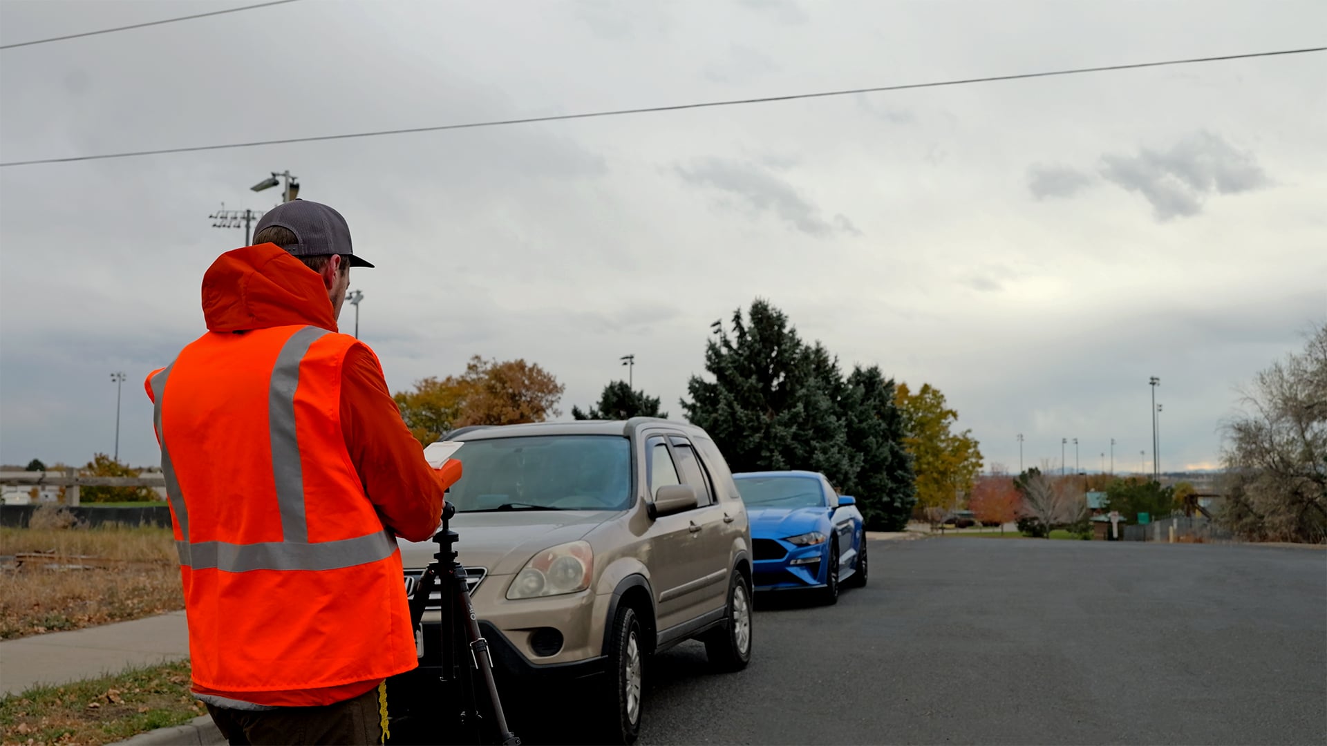
The IKE Device is known for its RTK accuracy, a game-changer in staking workflows. Getting comparable precision from a dedicated setup usually means a base station, rovers, and an ongoing subscription on top of whatever field data tools a team already has. IKE Device customers using RTK get high-accuracy positioning built in.
A dedicated total station setup for staking can hit the mid-five-figure dollar range once rovers and subscriptions are factored in. That is a significant purchase for equipment that only covers one part of the workflow. Teams that already have an IKE Device can put it to work on staking at a fraction of that cost, either as a lower-priced replacement for an aging total station or as a complement.
Go beyond the pole with expanded object collection
The second unlock is just as significant. The latest IKE Device collection tools extend to infrastructure that hasn’t been built yet, and to a much wider range of asset types than poles alone, including:
- Vaults
- Manholes
- Junction boxes
- Streetlights
- Buildings
- Curbs
- Sidewalks
- Road centerlines
A field technician can now mark a proposed pole location and just as easily capture the running line for a URD line extension or the location of a vault, manhole, or junction box, using the same location tools. This matters because the distance between those points determines how much cable a job needs and how many vaults or junction boxes to order. Combined with the existing-asset capture it already handles well, the IKE Device can now support new construction, pole replacement, underground/direct burial, and road-widening or relocation projects, on top of the inspection and audit work it is known for.
The expanded object list shows up in both the collection form and the map itself. Instead of a single symbol representing a pole, the map can now display streetlights, manholes, and other equipment alongside it, so what a team captures in the field matches what’s on site. For a utility or engineering firm feeding graphic work design and GIS systems, they receive all the context they need from a single field visit.
More complete field data, including ground profiles and linear features
A new ground profile collection feature lets a technician walk a path and record elevation data alongside location, point by point, whether the project sits above ground or underground. Terrain data feeds directly into sag calculations, pole loading analysis, and clearance checks. That work used to depend on someone estimating the grade from a photo or scheduling a dedicated survey pass. For example, a line crossing a highway requires a permit showing the elevation of the road against the height of the proposed wire. The IKE Device can now deliver that data from a single staking visit instead of planning a follow-up survey.
The IKE Device’s dedicated midspan tool also captures conditions between poles, cutting down on the stack of photos someone used to have to interpret.
Less friction in the rest of the day
A handful of smaller changes to the IKE Device remove time that used to disappear into logistics:
- An all-jobs map view shows every locally stored job in one place, with clustering when zoomed out. This enables the field technician to see the shape of the whole day instead of hopping between individual jobs.
- Equipment orientation is also more reliable. With a clearer bearing display and in-app guidance for getting the alignment right, the data holds up in bright sun, tight equipment clusters, and other non-ideal field conditions.
- Background data upload starts pushing collections up automatically once the device is connected, retrying failed uploads on its own. This means crews aren’t waiting at the truck for a progress bar before moving to the next site.
- Clearer form details on job creation mean less time spent guessing which of several similarly named forms is the current one.
What this all adds up to
There’s a payoff after construction wraps, too. The same locations captured while staking become the as-built record. Once new poles or underground infrastructure are built, those coordinates get imported into the utility’s GIS. The map then reflects what’s really in the ground without a separate as-built survey. If a future visit is required, data round trip on the device makes it easy to return to the exact location to confirm.
Two things changed here, and both point in the same direction: staking is now one more task the IKE Device can handle, and that same hardware now captures the full range of what a project needs, including above and underground, built and not-yet-built, poles and everything around them. Both mean more value from every field visit.
Schedule a demonstration to see the latest IKE Device enhancements.
Alex Friedl is Product Owner for IKE Office Pro’s mobile field data collection and data management solutions. With a foundation in archaeological fieldwork, GIS, and spatial analysis, Alex began her career conducting archaeological field surveys before moving into utility line design. During her five years at IKE, she has served in roles across support, quality assurance, business analysis, and product development. Alex oversees product roadmap implementation, feature prioritization, user experience design, and regular release cycles. She leads discovery and requirements-gathering sessions, capturing user insights to translate needs into clear development priorities for engineering teams. Her expertise spans geospatial technologies, survey data collection, product integration, and QA, with a focus on streamlining field-to-office workflows for utility professionals.
The latest from the IKE Wire
NESC requirements for fiber-optic cables in the supply space
As a member of National Electrical Safety Code (NESC) committees and IKE’s NESC tra...
Read MoreHow to choose the right OSP data collection solution
Comparing five OSP field technologies and the common use cases they support When it c...
Read MorePole loading analysis as a risk management strategy for utilities
How to turn uncertainty on distribution asset health into quantified, manageable risk...
Read MoreSubscribe to the IKE Wire
Get the latest insights on data acquisition and structural analysis from the ikeGPS experts.